
Sustainability Solutions
Power your program with the world’s most advanced data analytics platform for agriculture
Sustainability Solutions from Ceres Imaging offers the advantage of finely tuned data models—refined by more than 11 billion individual plant-level measurements, captured over ten years and more than 40 crop types—to help you adapt to change.
- Increase farmer participation with automated crop inventories.
- Verify farm practices and reduce reliance on grower attestations with our monitoring and measurement solution.
- Score farm sustainability and achieve quantifiable improvements over time with sustainability recommendations.
- Report on key sustainability metrics at a farm, regional or global level with portfolio insights.

Sustainability analytics
Your program success relies on data that’s accurate, relevant, and easy to use. Ceres Imaging has you covered with the industry's leading analytics tools for agriculture.
- Crop inventories
- Monitoring and measurement
- Sustainability recommendations
- Portfolio insights
- Plant-level insights
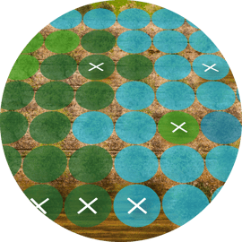
Crop inventories
Ceres provides automated reports with timely and accurate measurements of key farm characteristics, such as crop type, plant counts, tree diameters, crop vigor and planted acreage verification. Use crop inventories to populate past and present farm data, minimizing the burden of reporting on the farmer.

Monitoring and measurement
Guide efficient soil sampling with soil carbon stratifications and digitally monitor farm management practices including planting dates, harvest date, and use of cover crops. Our monitoring and measurement capabilities are backed by more than a decade of research collaborations with NASA, Agrifutures Australia, the University of California–Davis, and more.
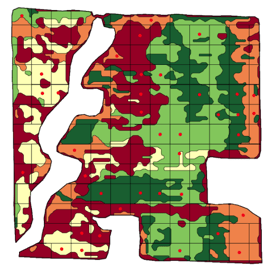
 Sustainability recommendations
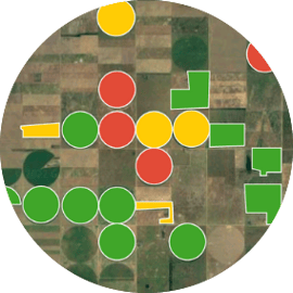 Portfolio insights
 Plant-level insights
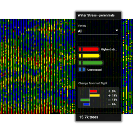
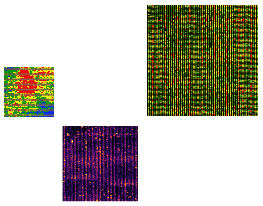
Unlike other providers that analyze data only at the regional or field level, Ceres delivers insights on project performance down to the individual tree or vine. This enhanced precision unlocks the ability to quantify changes—so you can surface sustainability trends, make targeted, farm-level recommendations, and analyze improvements over time.

INTEGRATION PARTNERS
Ceres Imaging integrates seamlessly with farm management software and in-field sensors.
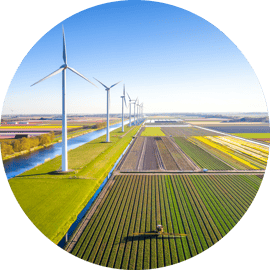
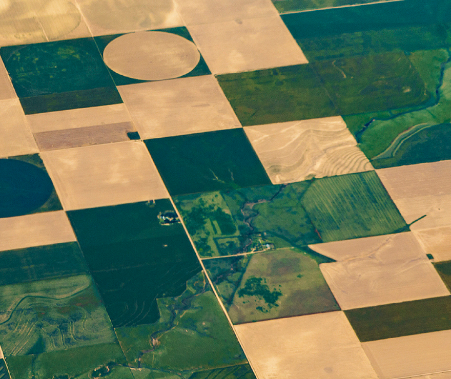
Best-in-class aerial imagery
Ceres Imaging is the industry leader in aerial data for agriculture, providing crop health data down to the individual plant level.

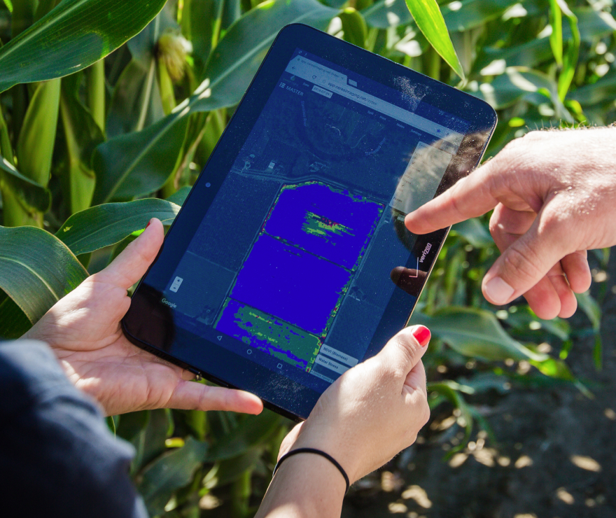
Mobile friendly
Easily refer to imagery in the field on your phone or tablet.

Customized for you
Pricing and service levels tailored to your operation.

![]()
