aa-1

Agrifutures Australia

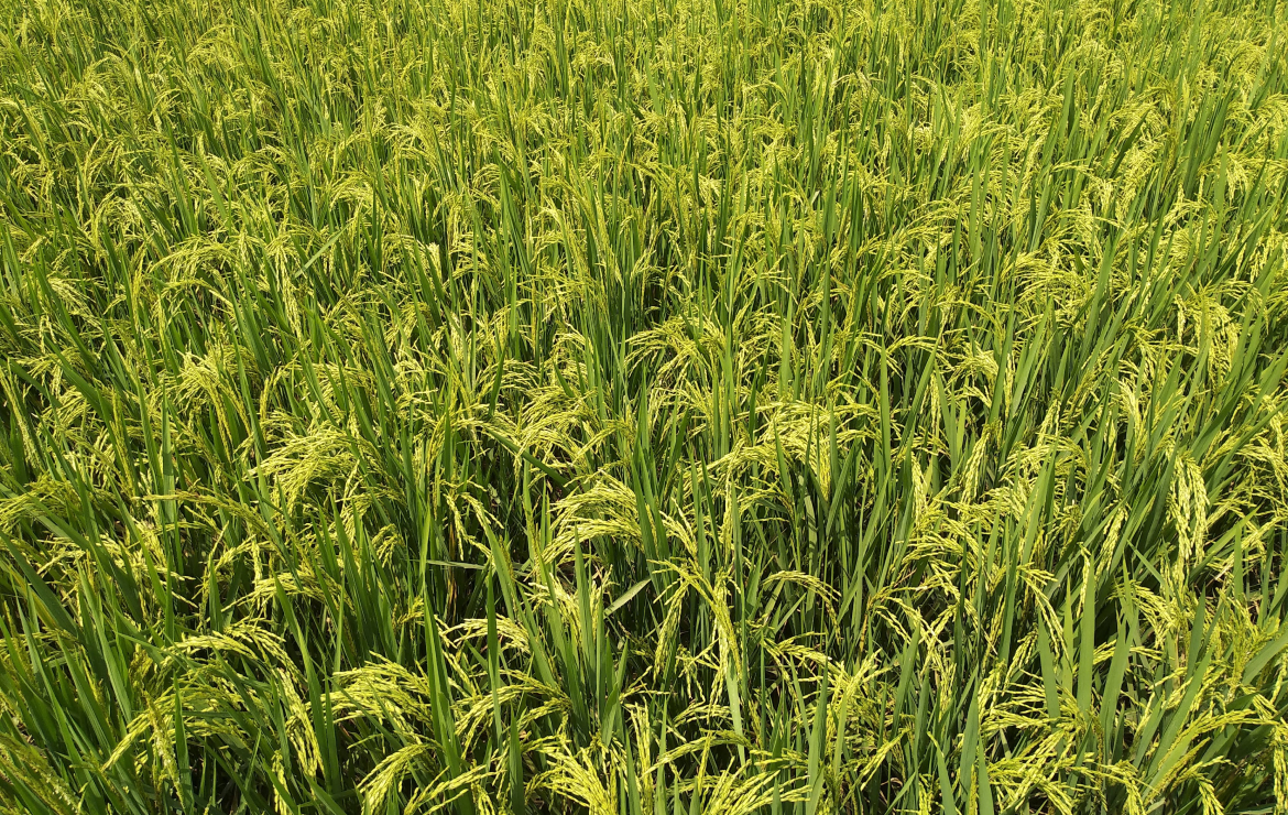
Nitrogen requirements in rice
A study by Agrifutures Australia validated the possibility of generating nitrogen topdressing recommendations from remote-sensing data with reduced or no physical sampling. Research agronomist Brian Dunn said, "After investigating several drone, satellite and aerial imagery options, Ceres Imaging was found to provide the best results at an economical price."
cornfield-1

University of Minnesota

Nitrogen use efficiency
"Many farmers apply excessive nitrogen because they don't want to incur a nitrogen deficit and no scalable technology is available to determine optimum nitrogen rates," says Dr. Yuxin Miao of the University of Minnesota. "My lab used satellite (PlanetScope), aerial (Ceres Imaging) and UAV (Quantix) remote sensing images and fertilizer calibration ramps installed in corn fields to develop an innovative and practical precision nitrogen management technology. The results indicate this is a viable approach that has great potential to increase nitrogen use efficiency."
vineyard rows Santa Barbara low angle email header

University of California Cooperative Extension

Stand counting
Ceres is conducting ongoing research with co-op clients to improve the capacity of sensors and image processing infrastructure to correctly count stands, which will be very beneficial for vineyards hoping to estimate costs and yields. Using Ceres Water Stress and NDVI layers the clients are able to see change throughout time and estimate impact to harvest.

USDA and the University of California, Davis

Canopy stress and applied water
Blake Sanden, UCCE Farm Advisor for Kern County, reported that “findings over the last four years show that the average Ceres conductance measurement from their imagery over the season has provided the best correlation with applied water. While there’s no perfect predictor of final yield, Ceres aerial sensing of canopy plant stress has a significant relationship with final yield.”
washington apple orchard

Washington State University

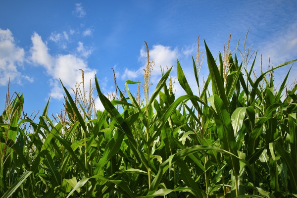
Crop water use and evapotranspiration rates
In a Washington State University study, Ceres Imaging data was used to highlight differences in multi-scale remote sensing combined with localized weather data, in order to map crop water use and evapotranspiration rates critical for site-specific irrigation management. As Ceres provides high resolution aerial imaging, our data is a valuable alternative to offer on-demand and tree-level crop characterizations.
center pivot on corn

University of Nebraska, Lincoln

Analytics for competition trial fields
Ceres Imaging supports the University of Nebraska's Testing Ag Performance Solutions (TAPS) program by providing imagery and analytics of the competition fields. The program involves growers, students, and other participants who text various agricultural technology to produce the highest yields or the most profitable corn and sorghum crops.
apples on espalier

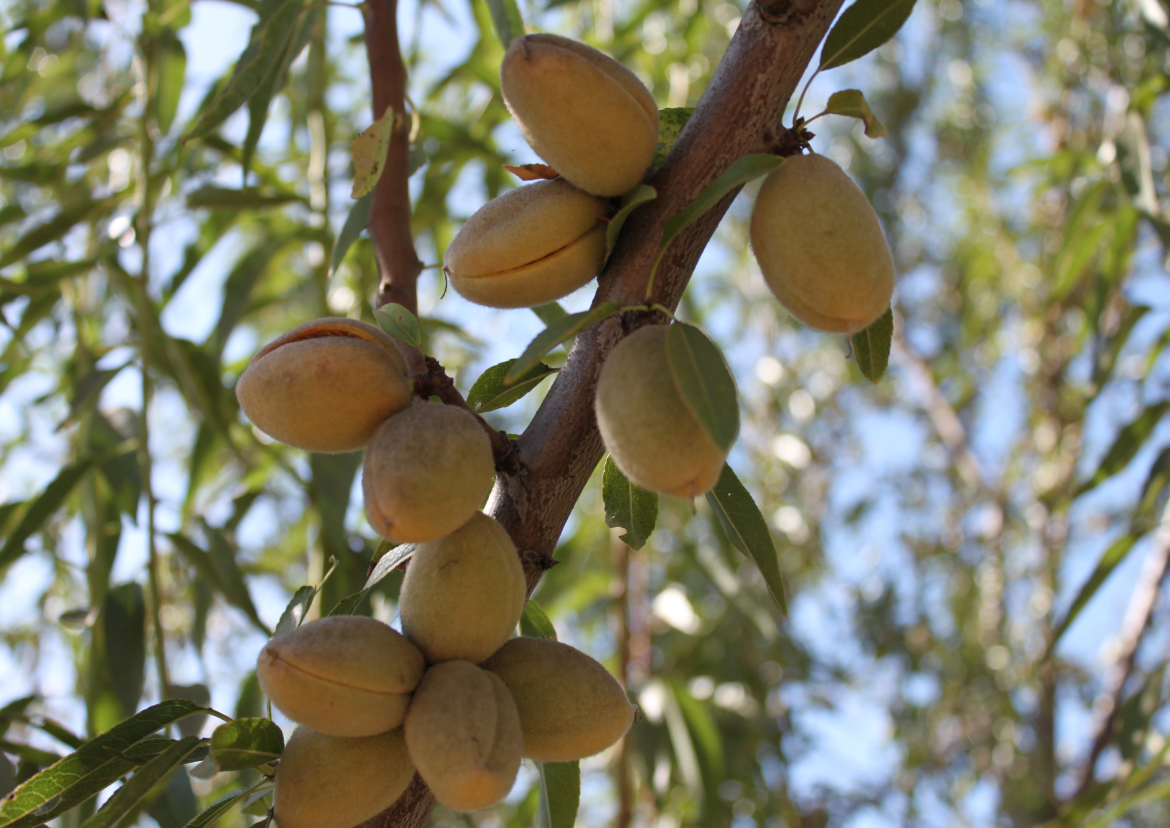
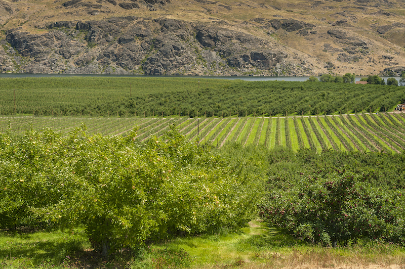
Smart Orchard Project

Optimizing multiple data sources
An initiative of the Washington Tree Fruit Research Commission, WSU, and Innov8.ag, the Smart Orchard project combines multiple data sources to optimize the way orchards are managed and operated. Ceres data is integral to this study as we are the only aerial imaging provider able to detect certain patterns that on in-field and drones cannot. Other data sources for this project include soil moisture sensors, weather stations, humidity sensors, dendrometers, and yield analysis.
soybean_sun

Kansas State University

Nitrogen application efficiency
Ceres is conducting studies focusing on precise tracking of nitrogen applications in season. We measure application efficiency through imaging test strips that have a gradient of amendment added. The benefit of such work is to gather insight into factors that inform how to limit the over and under application of nitrogen, which is a primary expense of row crop farmers.
kansas center pivot

University of Illinois

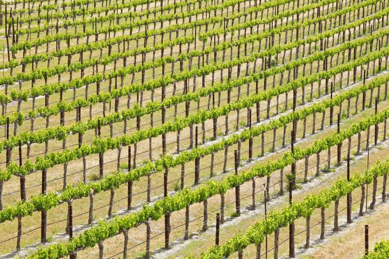
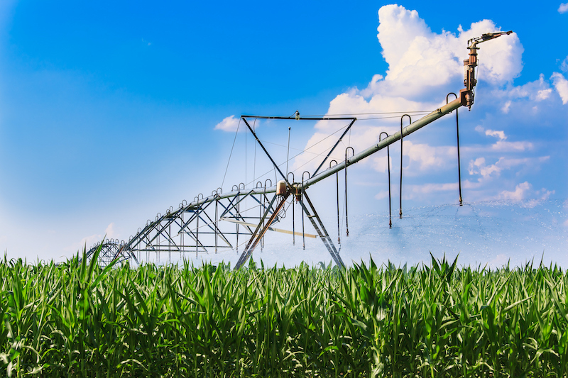
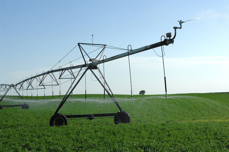
Variable rate irrigation
Research alongside Landmark Implement focuses on the effectiveness of variable rate water distribution is predicated on zoning fields based on water retention rates of plants and soils. Ceres is partnering with farmers and academic institutions, leveraging imagery to create a uniformity index that ties to water use.

Icon

Get started with Ceres

Schedule a consultation for detailed product info, pricing, and more.

Contact us
The difference between Ceres Imaging and other technologies I've used is the help I get from their expert team.
Jake Samuel, Partner
Samuel Farms
With Ceres Imaging we can take a more targeted approach to applying fertilizer and nutrients.
Brian Fiscalini, Owner
Fiscalini Cheese Company
These flights can cover way more ground and provide more insight than a dozen soil moisture probes — and it's cheaper to implement.
Patrick Pinkard, Assistant Manager
Terranova Ranch
The average Ceres Imaging conductance measurement from its imagery over the season has provided the best correlation with applied water.
Blake Sanden
University of California Cooperative Extension