
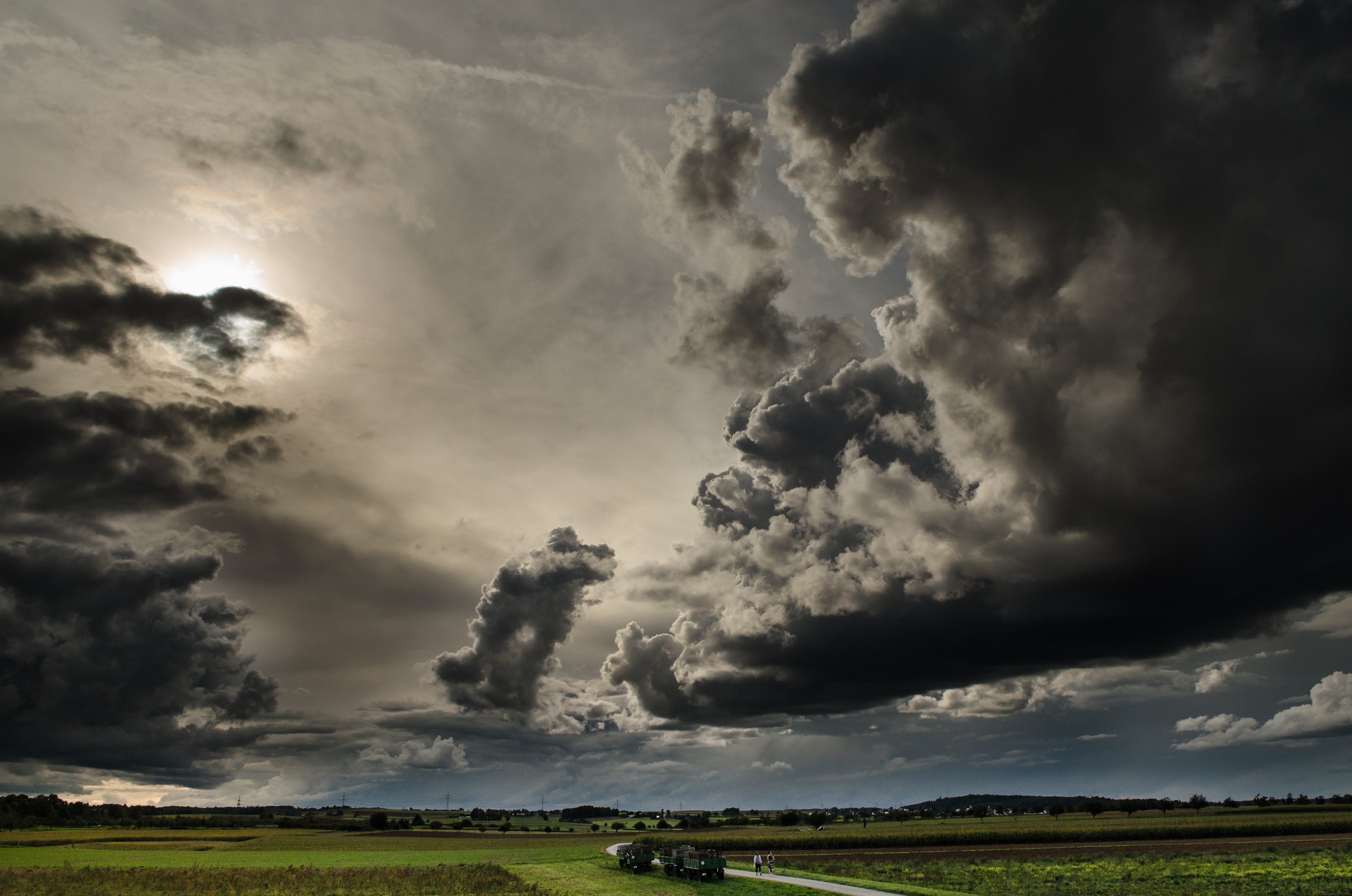
When it comes to weather and farming, there’s no such thing as a normal year anymore.
Extreme weather can damage or destroy crops. In 2022 alone, major weather disasters caused more than $21 billion worth of crop losses, according to the American Farm Bureau Federation.
And climate change will alter what crops can be successfully cultivated in what regions.
One significant and ever-present concern for farmers, agricultural insurers, and agriculture lenders is year-to-year weather variability, which makes risk prediction increasingly challenging, and means that legacy risk-based price models lack the accuracy they once had. As a result, the agricultural financial service industry is now looking for better predictive models to ensure its loss ratios don’t get hammered.
To feed the world’s growing population, farmers also need to increase the efficiency of food production, while limiting the degree to which they convert uncultivated land into cropland.
The Food and Agriculture Organization says that by 2050 the planet will need to produce 60% more food to feed a world population of 10.4 billion – and that doing so with a farming-as-usual approach will take too heavy of a toll on natural resources. There’s a huge data component to driving the efficiency of food production to enable farmers to get the highest level of food output per acre under cultivation while being sustainable and maintaining land health.
To measure and address weather impacts on crops to assess and increase yield; make farming operations more sustainable; and manage risk, farmers, insurers and lenders must employ high-quality data sets and artificial intelligence before, after and throughout the growing season.
Farmers must do in-season model tuning amid growing demand, increasing unpredictability
The past two decades have seen considerable growth in the volume of data to help support agricultural decision making. For instance, fewer than 10% of planted acres of corn and soy in the U.S. used yield monitors in 2002, a figure that now exceeds 50%. Higher resolution and quality earth observation satellites have continued to come online, including Sentinel-1 (2014) and Sentinel-2 (2015). These data provide the opportunity for improved farm and risk management, but predictive models are still challenged by the fact that the next growing season might not be quite like any of the previous years on which that model was trained, particularly in a world of rapid climate change.
With every season being unlike any in the past, farmers now need to use more timely, in-season models, starting with early identification of what looks offtrack; tune models based on high-quality data so that they can adjust model outputs in response to conditions in the current growing season; and provide an accurate end-of-year wrap-up of how things went in the event of severe weather and natural disaster to detect specific crop damage and yield loss.
Data and AI help farmers understand situations, make better decisions and adjust as needed
To become faster and more predictive in an increasingly unpredictable environment, farmers and others in the agricultural sector require both the right data sets as well as predictive models to make sense of the explosion of data collected from the sky and from the ground. Advances in artificial intelligence are playing a fundamental role in propelling this space forward.
The volume of available data has in many cases overwhelmed what classical regression models can achieve. AI is helping power models to help farmers better manage resources such as fertilizer, pesticides and water in their fields to maximize crop production; minimize the environmental impacts associated with farming; and predict the yields of their harvests.
For accuracy of recommendations generated by AI models, not only is data volume important, but so too is data quality and granularity. Even with sophisticated models, if you feed garbage in, you’ll get garbage out. One important component is spatial resolution, to enable isolating the canopy of a crop from soil, shadow, and cover crops. Choice of spectral bands, and spectral resolution, is equally important, to provide sensitivity to differences in chlorophyll content and nutrient status of the crop. Thermal data is of particular importance in understanding a plant’s transpiration rate, and is a sensitive indicator of irrigation or drought stress. With the right data and models, users can identify issues weeks before they are visible to the human eye, which helps growers minimize crop damage and negative yield impacts.
Insurers and lenders also benefit from the fast, precise identification enabled by data and AI
Agricultural financial services is the space where we see the greatest opportunity for leveraging increases in data and advances in AI, with applications throughout the lifecycle of an ag insurance policy. Accurate assessment of plant count and health helps insurers be more precise in their underwriting processes. Large-scale monitoring provides insight on where claims associated with weather events will occur. And high-resolution aerial data can accurately verify and quantify the extent of damage associated with events such as wind, hail or flooding. Compared to the status quo, in which a claims inspector drives to the field and surveys the periphery of the field, damage reporting powered by high-resolution data and AI can help insurers avoid overpaying and also help make a faster payout to the farmer.
Climate change and the radical weather that comes with it are key factors driving the volatility, uncertainty, complexity and ambiguity that farmers and other businesses are contending with today. The new normal, in which there’s no such thing as normal, calls for greater precision, prediction and action. That’s now possible through more holistic data sets and AI technology.
About the author:
Dr. James McBride is the vice president of research and development at Ceres Imaging, a leading data and analytics company that specializes in agriculture with more than 11 billion individual plant-level measurements captured across 35 million acres and more than 40 crop types in four continents. Through advanced AI technology and powerful analytics, Ceres provides farmers and agribusinesses with actionable insights to optimize resource management, verify crop health and drive sustainable practices.