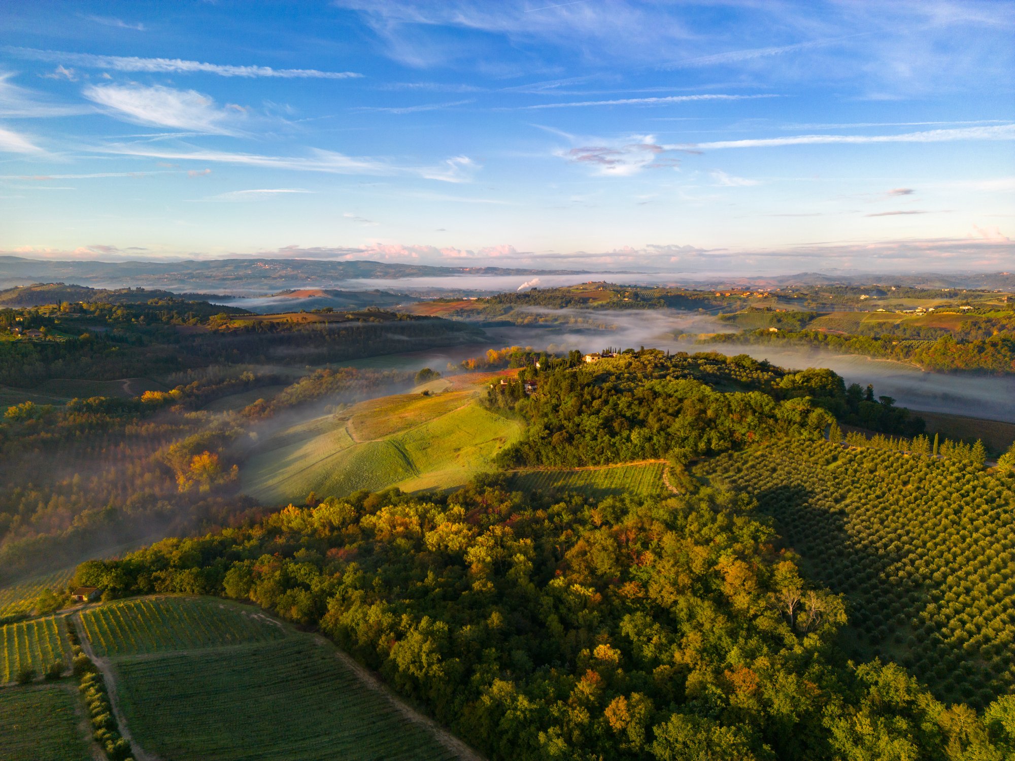
Risk insights for sustainable agriculture
The world’s most advanced data analytics platform for agriculture

Protect yields
Ceres is used by global farming enterprises to protect yield and increase resource-use efficiency. We model yield impacts and ROI in ways other companies cannot, guiding you through the right strategic investments for your operations.

Manage risk
Use our tools to manage climate change impacts and improve the risk profile of your agricultural portfolios. Help farmers respond to changes in-season to protect yield and the bottom line.

Advance climate resiliency
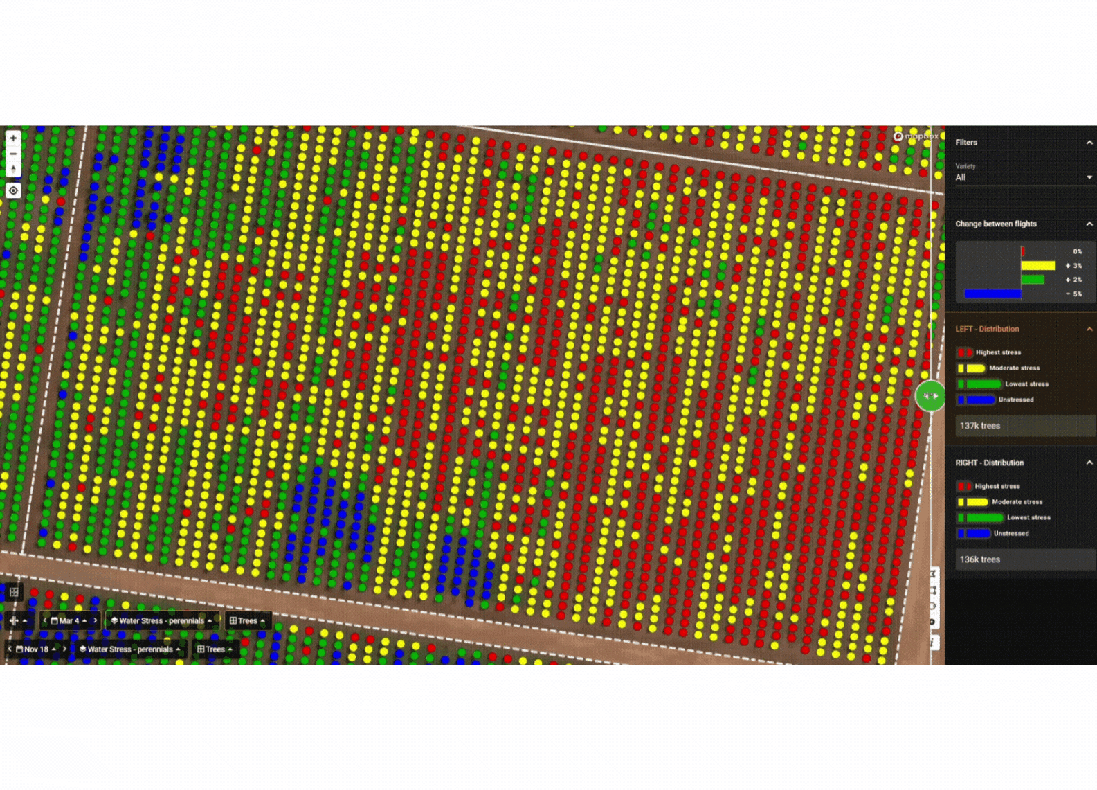
With more than 11 billion individual plant-level measurements in our dataset, we digitally monitor farm management practices and create customized sustainability scorecards.

meet ceres
We're farmers, data scientists, and agronomists passionate about agriculture.


Tried and tested
Our data is backed by more than 30 research collaborations with leading universities, government partners, and nonprofits.

![]()

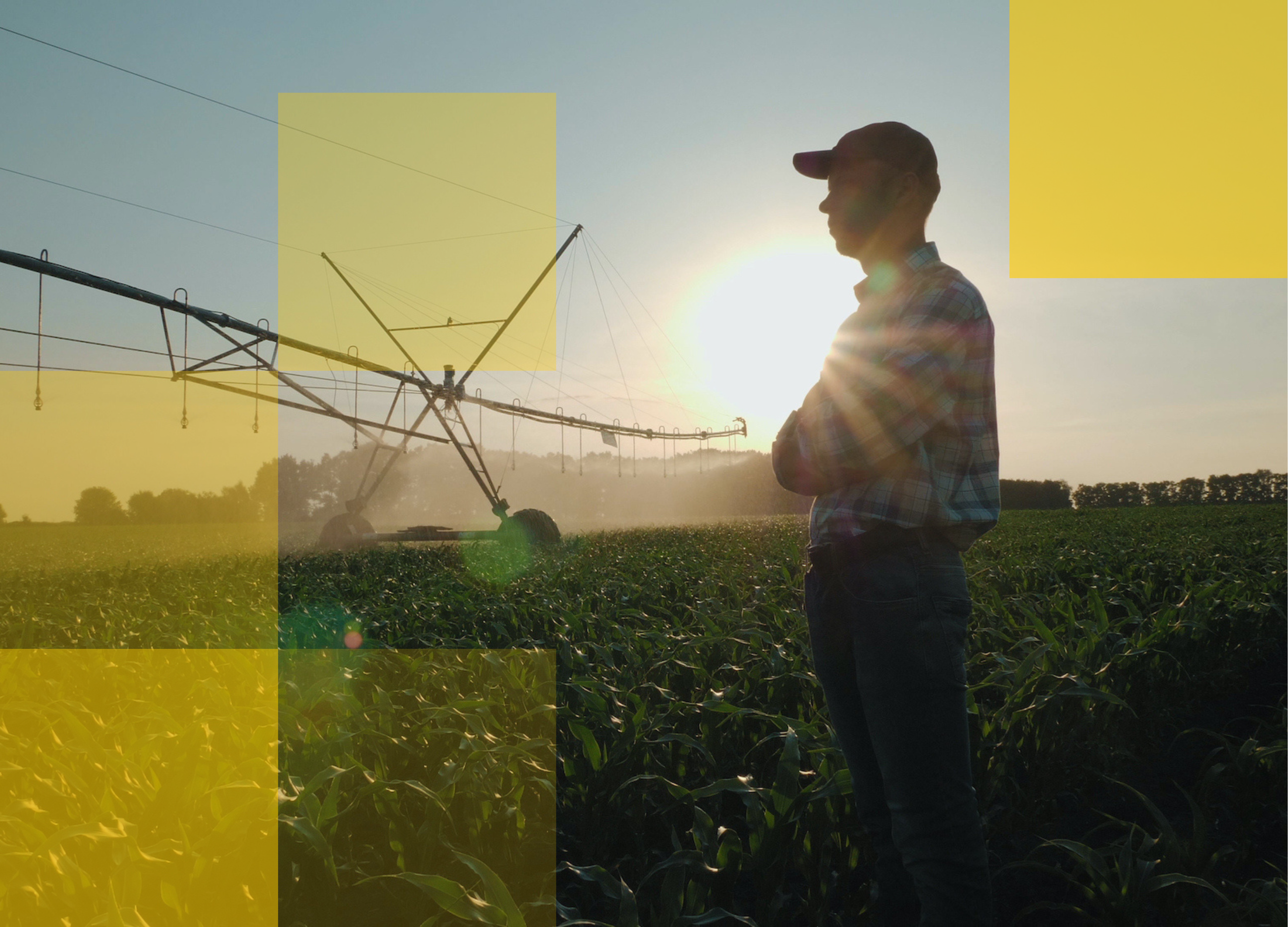
SPECIAL REPORT
Increasingly, unpredictable weather poses challenges for crop insurers in managing underwriting and claims. Ceres Imaging has developed unique and cost-effective solutions not replicable by providers that rely solely on satellites or drones.
Get the study