
Ceres Imaging, the aerial imaging company that provides irrigation management solutions to help farmers improve profitability, has announced its expansion into Latin America.
The company has formed a new team based in Latin America and will focus on helping farmers protect their crops from yield risks, as well as reducing farm water use by 10 to 20 percent.
Ceres Imaging was born in the Silicon Valley area of California and currently services more than 30 percent of irrigated perennial crops in the United States and Australia, as well as more than 20 percent of specialty irrigated annual crops such as tomatoes and potatoes.
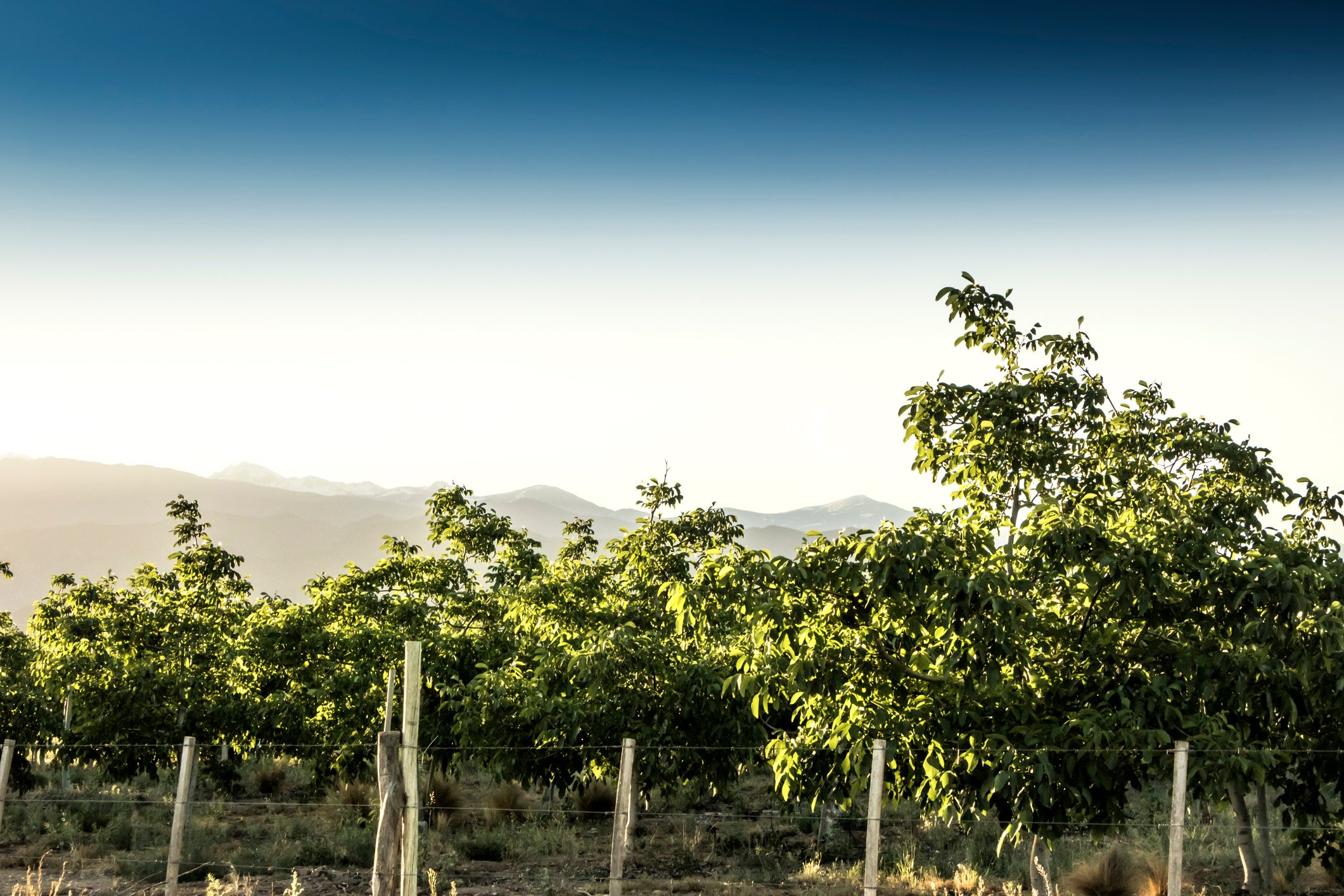
In Latin America specifically, Ceres Imaging will help large and medium-sized growers of avocados, nuts, grapes, citrus, blueberries, and other specialty crops in the main growing areas of Peru and Chile , as well as a portion of northern and western Chile and Mexico.
As part of its launch, Ceres Imaging has formed a team to support local growers and has established a network of pilots who are currently flying around the main growing areas.
"We are excited by the reception we have had so far in the region. We look forward to leveraging the insights we've gained from our experience in the United States and Australia to help farmers protect their yields and manage their scarce water resources," said Ash Madgavkar, founder of Ceres Imaging.
Ceres Imaging uses artificial intelligence and high-resolution imaging to help growers achieve tangible results with its powerful features and personalized service to help growers:
- Improve consistency: A clearer picture of variability helps identify opportunities to improve yield and quality, without increasing input costs.
- Address water scarcity : Farmers can adjust how, when and where to irrigate, plus they are better equipped to operate with reduced water allocations.
- Protect yield: Ceres Imaging helps farmers detect problems, such as clogged irrigation lines or under-irrigation, before they can be seen in the crop and affect yield.
Ceres Imaging is the only aerial imaging provider operating in the region to offer high-resolution thermal images and plant-level information. While other image providers are limited to showing pixels of the entire field, often mixing soil and canopy data with crop information, Ceres Imaging has the unique ability to measure just the crop and provide individual crop information.
This allows growers to filter data to achieve a specific management approach—for example, to view only highly stressed trees or view trees by variety. Plant-level data also makes it possible to track and measure changes over time. With quantified feedback on what's working in irrigation strategy, it's easier for growers to prioritize resources and respond quickly to changing conditions in the field.