Don’t leave crop health to chance—a free water stress analysis from Ceres Imaging can help you ensure your irrigation system is optimized for the season ahead. Qualified growers can take advantage of this special offer to:
.jpg)
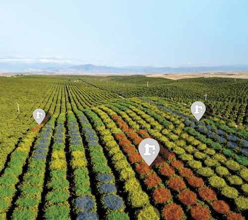
Mounted on fixed-wing aircraft, our cameras capture multispectral imagery in greater detail than satellites, more efficiently than drones.
.jpg)
Instead of unprocessed aerial photographs, we use crop-specific, research-validated data models to evaluate plant health.
.jpg)
Within 48 hours, we deliver specific recommendations to help farmers make decisions with confidence.
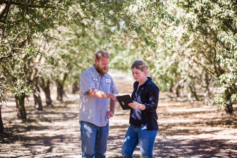
Our expert agronomists provide local customer support.
Get the case studies