
USE CASES
Ceres for agribusiness
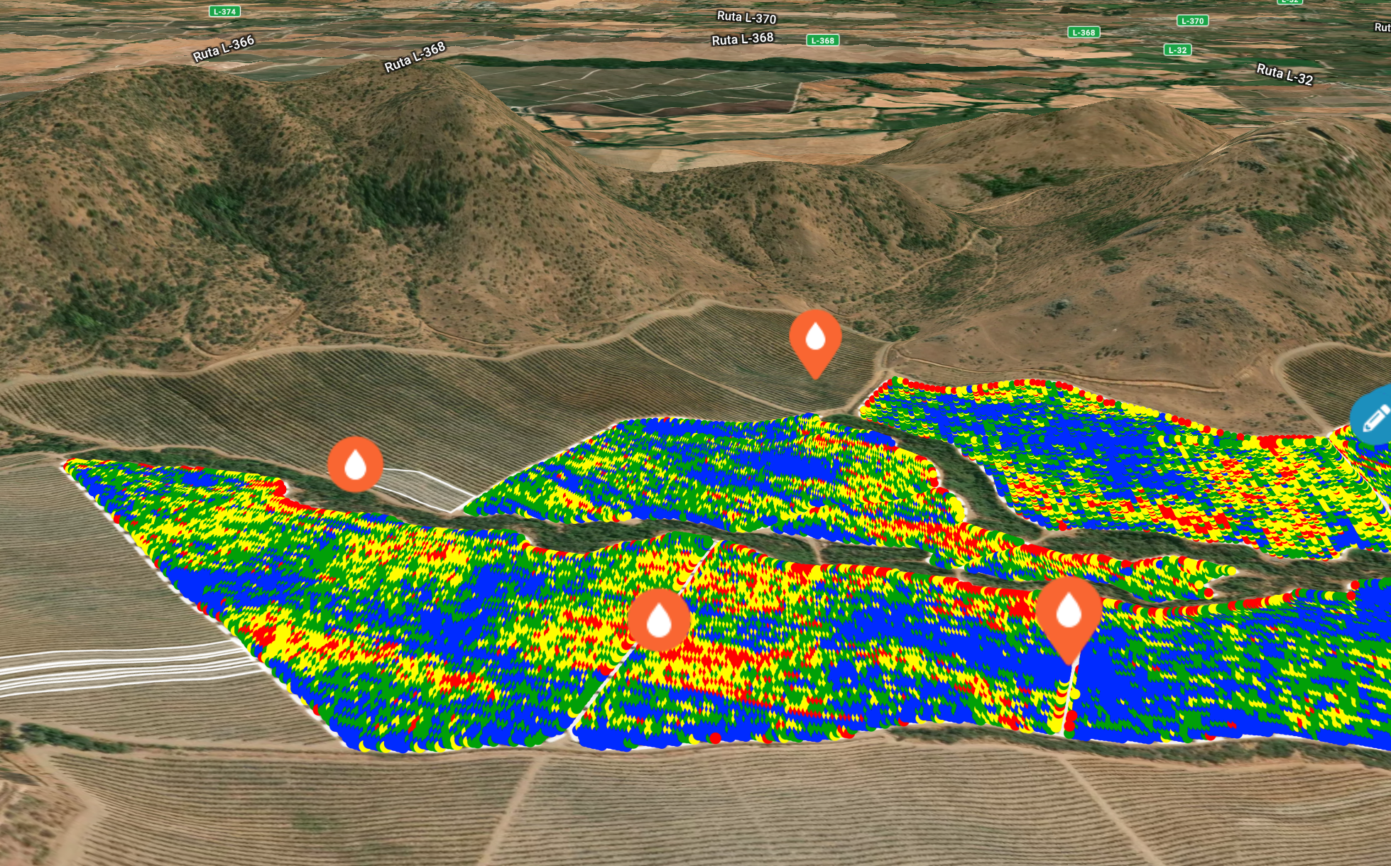
Identify underperforming assets and new opportunities in your agriculture portfolio
Ceres Imaging delivers precision agriculture solutions that help farming enterprises build more profitable and more sustainable operations. With more than 11 billion individual plant-level measurements captured over ten years and more than 40 crop types—we help you model yield impacts and investment ROI in ways other companies can't.

“It’s a very non-invasive way to measure ROI. [I use Ceres to] figure out what my potential loss is, and how much money I need to spend to fix a given problem.”
Zac Ellis—Sr. Agronomy Director, Olam International
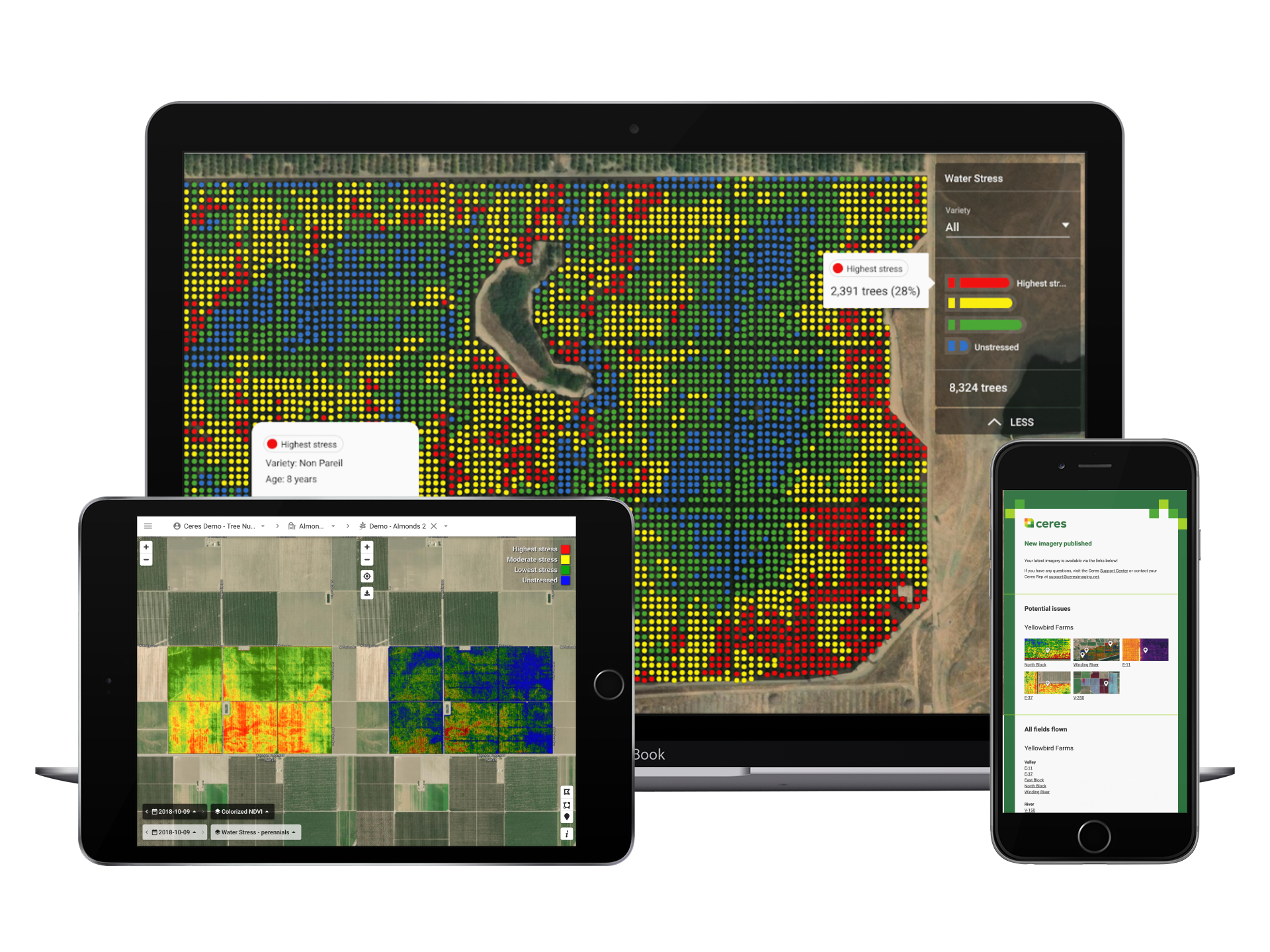
Product spotlight: fARM SOLUTIONS
Ceres offers powerful data tools to help you quantify, track, and analyze farm performance.

Evaluating ROI
Reducing the amount of time a crop spends under undesirable stress translates directly to improved yields and quality. That's why Ceres customers achieve, on average, an 8% increase in yield. Learn how in this short guide.

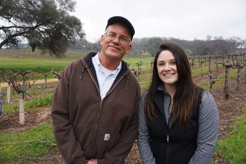
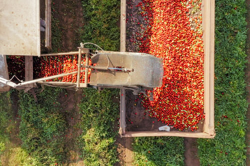
Real farms, measurable results
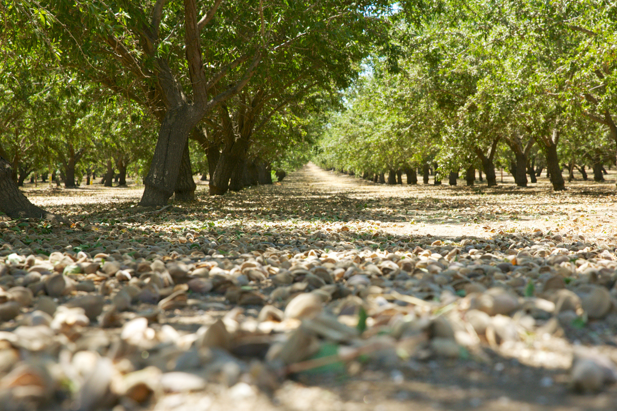
Ceres works closely with agriculture professionals to tackle farm management challenges—from improving uniformity in wine grapes to conserving water in almond orchards.

OUR PARTNERS
We’re proud to partner with these leaders in agriculture.
![]()
