
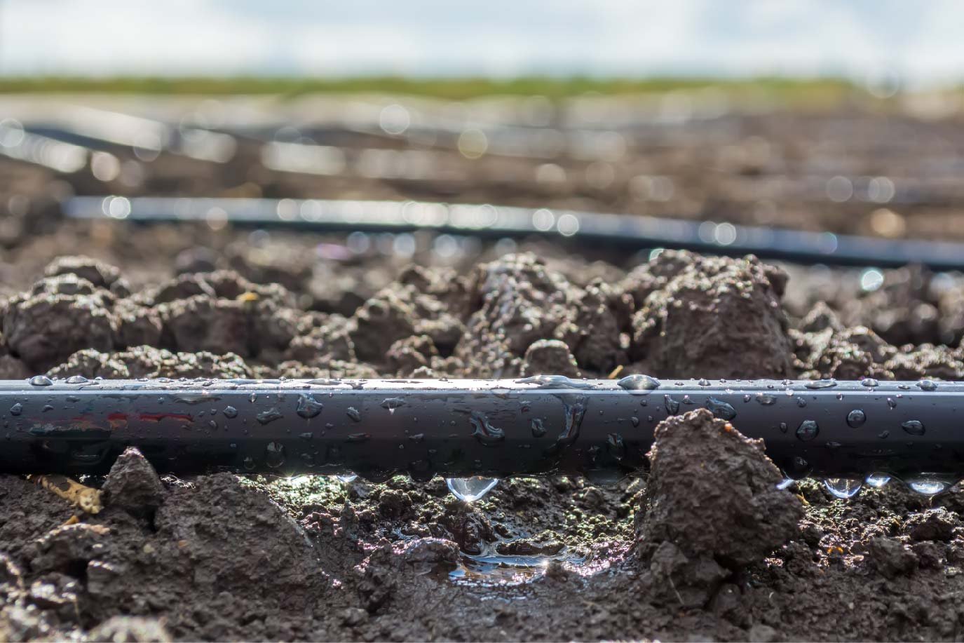
If you've been looking for a leg up on irrigation management in the coming season, you're not alone. Whether you're managing a thousand acres of pivot-irrigated soybeans or a vineyard on challenging terrain, irrigation often presents the season's biggest challenges—as well as some surprising opportunities for improvement.
Aerial imagery can help uncover both hidden problems and hidden potential—but not all imagery is suitable for irrigation management. If you're considering an aerial perspective for the coming season, these are the big questions to ask.
1. Does the imagery provide the level of detail you need?
To be truly useful in the field, aerial imagery must be both precise—pinpointing issues in a specific location—and accurate, reflecting true conditions on the ground. Achieving both for the purpose of managing irrigation requires scientific-grade thermal cameras: ours accurately detect temperature differences of 0.1 degree Celsius between plants.
2. Will it allow you to be proactive?
Traditional NDVI imagery tends to reveal irrigation issues long after they impact plant health and yield. By contrast, Ceres Imaging's proprietary Water Stress Index provides an accurate and intuitive measure of crop stress in real time, allowing growers to make valuable corrections.
When you're dealing with a water-sensitive crops, you can't wait weeks for imagery and analysis. For Ceres Imaging customers, it's 24 to 48 hours from the time we capture imagery to the time it's available on your desktop, tablet, or mobile device.
3. Is it backed by science?
At Ceres Imaging, the process of developing new tools for growers benefits from multiple perspectives: we prefer to combine academic trials with grower field-testing.
The science behind our analytics tools is independently validated by partners like the University of California Cooperative Extension—and we never stop improving. Ongoing research includes collaborations with Kansas State University, the University of Illinois, and the University of Minnesota.
4. Does it include analysis and support?
Unprocessed aerial photographs offer a bird's-eye view of your farm—but they're unlikely to reveal irrigation issues or crop stress. In addition to the management insights of the Water Stress Index, Ceres Imaging provides tools like the Center Pivot Analytics Suite, which automatically ranks potential issues in order of likely importance.
To help growers use imagery for irrigation management, we combine analysis powered by artificial intelligence with personal support: our team of agronomists and remote sensing experts are on hand to help interpret imagery, suggest locations for follow-up, and train larger teams to incorporate data into their daily work.
These central questions are always worth considering, but every operation is unique. We want to make it easy to get started with aerial imagery and analytics—so we're proud to offer an Irrigation Confidence Guarantee for qualified first-time customers.
